Free & Open Source — No Signup Required

Visualize & Convert
Geographic Data — Instantly
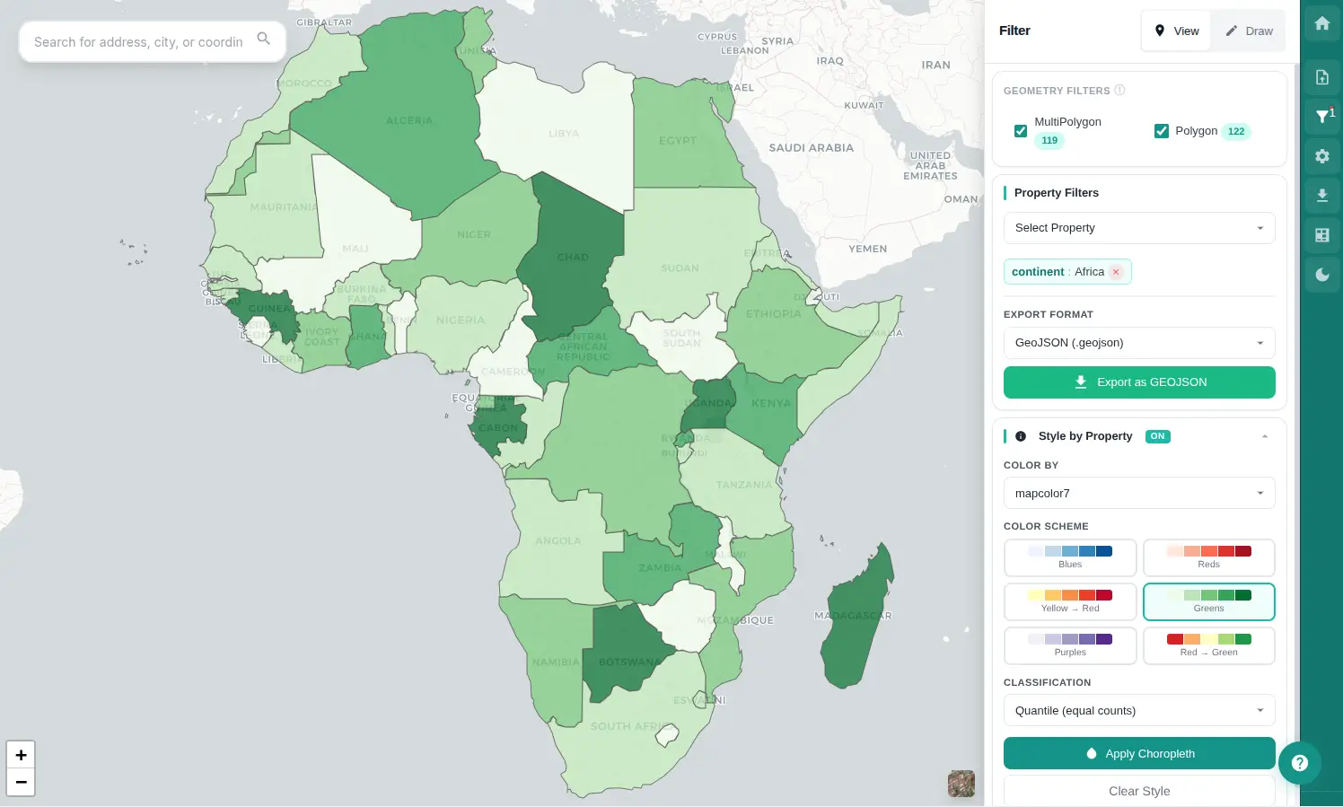
Drop a GeoJSON or KML file. See it on an interactive map in seconds. Filter, analyze, convert formats, and export — all in your browser.

Try with Demo Data

or drag & drop a GeoJSON/KML file anywhere on this page

No installation
100% private
Works offline
GeoDataTools

Works with

QGISArcGISGoogle EarthMapboxPostGISLeaflet

How It Works

Get results in three simple steps

1

Upload Your File

Drag & drop or browse for GeoJSON or KML files. Instant parsing with format detection.

2

Explore & Filter

Navigate the interactive map, click features for details, and apply smart filters to find what you need.

3

Export & Convert

Download filtered results as GeoJSON or KML. Convert between formats seamlessly.

Powerful Features

Everything you need for professional geospatial data work

Interactive Map Viewer

Leaflet-powered map with smooth pan, zoom, and click-to-inspect. Multiple base layers including satellite imagery.

GeoJSON & KML Import

Drag-and-drop upload with automatic format detection, validation, and instant parsing via Web Workers.

Advanced Filtering

Filter by geometry type and properties with operators like equals, contains, ranges, and multi-value selection.

Attribute Table

Sortable, searchable data grid with pagination for exploring and analyzing feature properties at scale.

Format Conversion

Convert between GeoJSON and KML seamlessly. Export clean, standards-compliant files for any GIS workflow.

Location Search

Google Places integration for global geocoding. Find any address, landmark, or coordinates with autocomplete.

Built for Professionals

Trusted across industries for fast geographic data work

GIS Professionals

Quick data validation and format conversion before importing into QGIS or ArcGIS.

Urban Planning

Visualize zoning data, property boundaries, and infrastructure with interactive filtering.

Data & Research

Explore government open datasets and research data with powerful filtering and visualization.

Developers

Debug GeoJSON files, validate geometries, and convert formats for web mapping projects.

Frequently Asked Questions

What file formats are supported?

GeoDataTools supports GeoJSON (.geojson, .json) and KML (.kml) files. You can import either format and convert between them. Files up to 30MB are processed using Web Workers for optimal performance.

Is my data private and secure?

Yes. All file processing happens entirely in your browser. Your geographic data is never uploaded to any server. GeoDataTools works offline once loaded.

Do I need to create an account?

No. GeoDataTools is completely free with no registration, no login, and no usage limits. Just open the app and start working with your data.

Can I convert GeoJSON to KML (or vice versa)?

Yes! You can import a GeoJSON file and export it as KML, or import KML and export as GeoJSON. We also offer dedicated converter tools for quick format conversion.

Does it work on mobile devices?

Yes, GeoDataTools is responsive and works on mobile browsers. The map viewer is fully functional on touch devices, with a mobile-optimized upload experience.

Ready to Visualize Your Geographic Data?

Start mapping and converting your GeoJSON and KML files in seconds. Free, private, no signup required.

Try demo data